
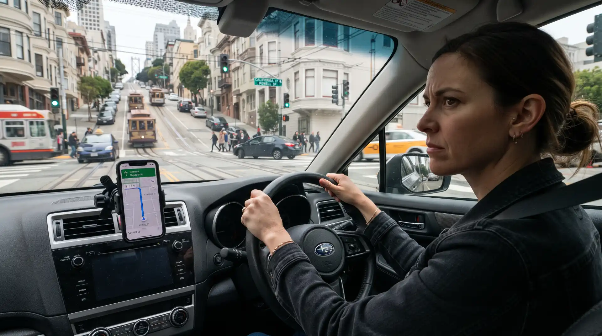
Navigation apps have changed how Americans drive. Instead of memorizing routes, checking printed maps, or stopping to ask for directions, motorists can receive real-time instructions from smartphones and built-in vehicle navigation systems. GPS technology can identify upcoming turns, suggest alternate routes, warn about congestion, estimate arrival times, and redirect drivers when road conditions change.
For most trips, that technology is useful. Problems can arise, however, when a navigation app gives an unexpected instruction, identifies an outdated road configuration, redirects a driver toward a difficult intersection, or causes a motorist to look away from traffic at a critical moment.
A driver might suddenly cross several lanes after hearing “turn right.” Another may slow unexpectedly because the navigation system identifies an exit too late. A tourist unfamiliar with San Francisco could follow a route onto a steep or congested street and become confused about lane placement. In more unusual situations, mapping information may be outdated or inaccurate.
When an accident follows, an important legal question emerges: can GPS directions contribute to crash liability?
The answer depends on the circumstances. A navigation application’s instructions may become relevant evidence, but receiving incorrect or confusing directions generally does not eliminate a driver’s responsibility to operate a vehicle safely. In some cases, several causes can contribute to the same collision.
Understanding the distinction between an app contributing to the circumstances and someone being legally responsible for the accident is essential.
Navigation Technology Does Not Replace a Driver’s Duty of Care
Drivers throughout the United States have a basic responsibility to operate their vehicles with reasonable care. They must watch surrounding traffic, obey traffic-control devices, maintain control of the vehicle, adjust to roadway conditions, and avoid maneuvers that create an unreasonable risk of collision.
A GPS instruction does not ordinarily override those obligations.
Suppose a navigation app instructs a motorist to make a left turn, but a posted traffic sign prohibits left turns. The driver generally cannot disregard the actual sign merely because the application suggested the maneuver.
Similarly, a navigation app may tell someone to take the next exit when the driver is several lanes away. That instruction does not make it safe to cut abruptly across traffic.
The same principle applies if a route appears to continue through an area that is actually closed, restricted, under construction, or otherwise unsuitable for travel. Drivers are expected to react to the real-world conditions they can observe.
GPS directions are therefore better understood as driving assistance rather than a substitute for judgment.
This distinction can become central after a collision. An insurance company or accident investigator may ask not only what the application instructed the motorist to do, but also whether a reasonably careful driver should have recognized that following the instruction at that moment was unsafe.
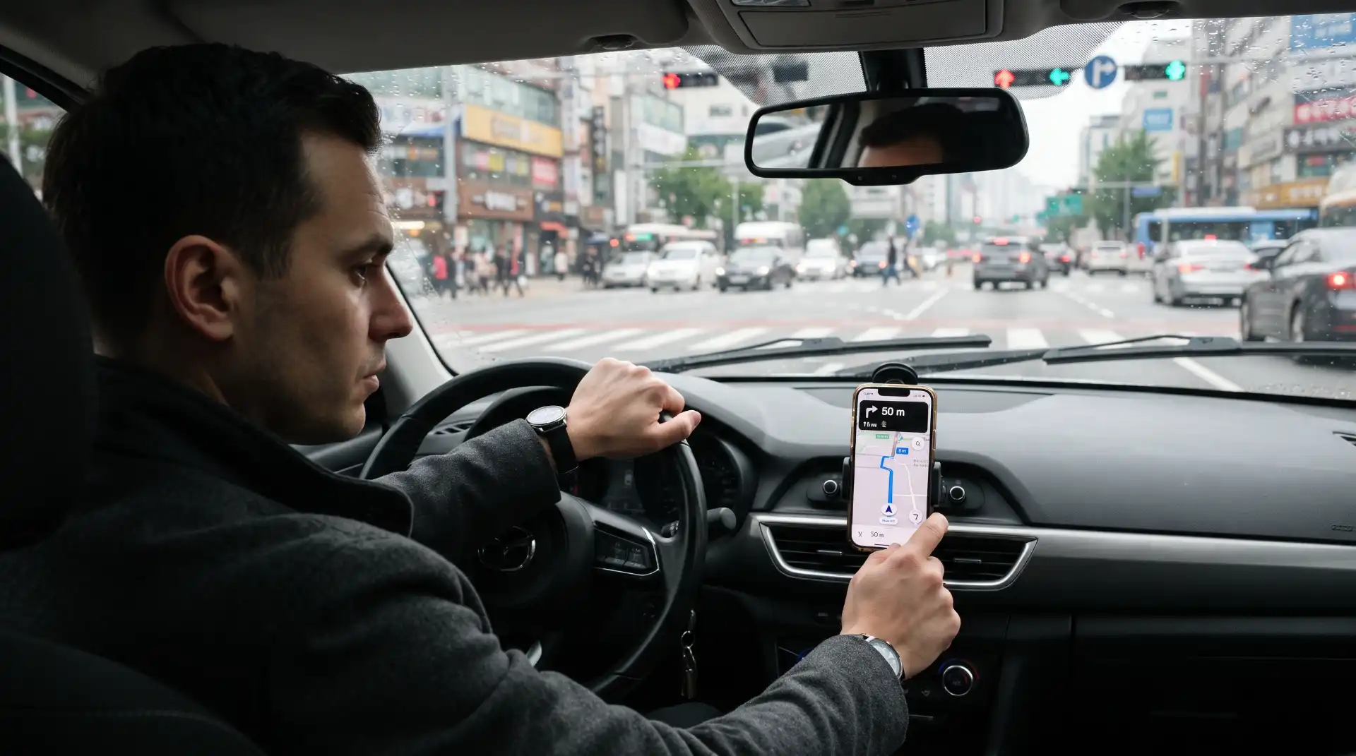
How Navigation Apps Can Contribute to Crashes
A navigation app does not have to be completely inaccurate to play a role in an accident. The manner in which a driver interacts with the application can be just as important as the directions themselves.
One common problem involves last-second route changes.
A driver approaching an intersection may initially believe the route continues straight. The navigation application recalculates and suddenly instructs the driver to turn. Instead of continuing safely and allowing the application to calculate another route, the motorist brakes hard or crosses traffic to make the turn.
Another problem occurs when drivers focus on the map rather than their surroundings. They may look repeatedly at street names, lane diagrams, estimated travel times, or route alternatives instead of monitoring traffic.
Navigation systems may also contribute to confusion at complicated interchanges. San Francisco drivers encounter multilane approaches, freeway entrances and exits, one-way streets, transit lanes, bicycle infrastructure, steep streets, construction zones, and intersections where lane choice must be made well in advance.
An unfamiliar driver who is concentrating on navigation instructions can miss a traffic signal, fail to notice a pedestrian, overlook a cyclist, or enter an incorrect lane.
These situations show why liability usually requires examining both the technology and the human decisions made immediately before the collision.
GPS Use Can Become a Distracted Driving Issue
Navigation-related crashes are not limited to inaccurate maps. Often, the more significant problem is distraction.
The National Highway Traffic Safety Administration identifies navigation systems among the activities that can divert attention from driving. Distraction may be visual, manual, cognitive, or a combination of the three.
A driver who looks down at a navigation screen experiences visual distraction. A motorist who reaches toward a phone to enter a destination experiences manual distraction. Someone concentrating heavily on confusing instructions may experience cognitive distraction even while looking toward the roadway.
These forms of distraction can overlap.
A few seconds of inattention can become important when traffic ahead stops, a pedestrian enters a crosswalk, another vehicle changes lanes, or a traffic signal changes.
NHTSA reported that distracted-driving crashes killed 3,208 people in the United States during 2024 and injured more than 315,000 people. Navigation systems are not responsible for all distracted-driving accidents, but federal safety guidance recognizes adjusting or interacting with GPS technology as one potential source of distraction.
Drivers can reduce this risk by entering their destinations before moving, using audible directions, mounting devices appropriately where permitted, and allowing the application to reroute instead of making dangerous last-second maneuvers.
California Law and Handheld GPS Use
California provides an especially useful example of how navigation use and distracted-driving law can intersect.
California Vehicle Code Section 23123.5 generally prohibits a motorist from driving while holding and operating a handheld wireless telephone or electronic wireless communications device unless it is being used in the legally permitted hands-free manner.
A mounted device may be operated by hand under limited circumstances when it is properly mounted and the interaction involves a single swipe or tap to activate or deactivate a feature. Manufacturer-installed systems are treated separately under the statute.
A significant California appellate decision also addressed GPS use directly.
In People v. Porter, decided in June 2025, a driver was cited after holding a phone and looking at a mapping application while driving. The California Court of Appeal concluded that “operating” a phone under Section 23123.5 includes using its functions by viewing a mapping application while holding the device.
The court determined that handheld phone use for navigation falls within the statute’s distracted-driving concerns.
For California motorists, the decision is a reminder that a driver cannot assume GPS use is exempt from distracted-driving restrictions merely because the phone is being used for navigation instead of texting or making a call.
Can Following Incorrect GPS Directions Be Negligence?
Potentially, but the question is usually not whether the GPS made a mistake by itself. Investigators consider how the motorist responded.
Negligence generally involves failing to exercise reasonable care under the circumstances.
Imagine a GPS application instructs a driver to turn onto a street that has recently become one-way in the opposite direction. A clearly visible “Do Not Enter” sign is posted at the intersection. If the driver ignores the sign and enters against traffic solely because the application indicates that route, the navigation error may explain the driver’s decision, but it may not excuse it.
The actual roadway controls remain critical.
A similar analysis can apply when navigation sends a driver toward a closed roadway. If barriers, signs, cones, or workers clearly indicate that the street is closed, continuing forward may be unreasonable regardless of what appears on the navigation screen.
More difficult situations occur when the danger is not obvious.
A road configuration could have changed recently. Temporary construction markings may be confusing. A navigation application might identify a maneuver that appears legal but directs a motorist into an unexpectedly hazardous situation.
Those cases require closer investigation.
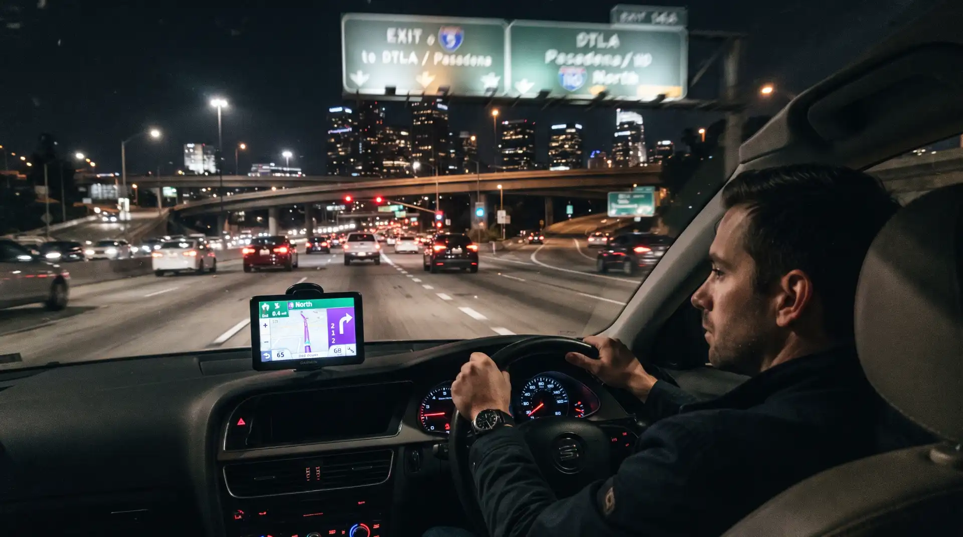
What If GPS Gives a Last-Second Turn Instruction?
Last-second instructions are particularly relevant because they can lead to abrupt driving behavior.
Drivers sometimes believe they must follow every navigation command immediately. They do not.
Missing an exit or turn is usually far safer than suddenly crossing multiple lanes, making an illegal turn, stopping in a travel lane, or forcing surrounding motorists to brake.
Consider a driver traveling through congested San Francisco traffic. The navigation system announces an upcoming right turn after the motorist has already entered the left lane. The driver then crosses two lanes without sufficient clearance and sideswipes another vehicle.
The instruction may become part of the factual history of the crash, but liability would likely focus heavily on the driver’s unsafe lane movement.
San Francisco congestion can make these decisions especially consequential. Readers can also review our article on Traffic Congestion and Car Accidents in San Francisco: Can Heavy Traffic Affect Fault? for a closer look at how stop-and-go traffic and sudden lane changes can influence accident investigations.
Could the Navigation Company Ever Be Liable?
Claims against navigation or mapping companies are much more complicated than ordinary negligence claims against drivers.
The fact that an application contained inaccurate information does not automatically make the company legally responsible for every accident occurring along the suggested route.
A potential claim would depend on numerous issues, including what information was displayed, whether it was inaccurate, how the error occurred, whether the company had notice of a problem, what warnings or limitations accompanied the service, whether the driver independently made an unsafe decision, and whether the alleged error actually caused the collision.
Causation can be particularly difficult.
Suppose an app incorrectly identifies a street as open, but the driver reaches the location and sees obvious barricades before deliberately driving around them. Even if the digital map contained an error, the driver’s independent decision could become the more immediate cause of the resulting crash.
Contrast that with a highly unusual situation involving inaccurate digital information that creates a danger a reasonable driver would have no practical way to recognize before encountering it. The analysis could be different.
Product design, software development, contractual terms, state law, jurisdiction, warnings, and technical evidence may all become relevant.
For this reason, it would be inaccurate to claim that Google Maps, Apple Maps, Waze, a vehicle manufacturer, or another navigation provider automatically becomes liable whenever its routing information precedes an accident.
These cases are fact-specific.
Can More Than One Party Share Responsibility?
Yes.
Some car accidents result from several contributing causes.
For example, one driver may receive confusing navigation instructions and make an unsafe lane change. Another driver may be speeding and unable to react in time. Road construction could make lane boundaries difficult to understand. A third vehicle may contribute by blocking visibility.
Responsibility may therefore extend beyond a simple choice between “the driver” and “the GPS.”
California follows a pure comparative fault system, meaning responsibility for an accident can be allocated among parties according to their respective contribution to the harm.
The navigation instructions could become one piece of the overall causation analysis without necessarily becoming the sole cause of the crash.
For more information about how evidence and comparative responsibility are evaluated, see our guide on How to Prove Fault in a San Francisco Car Accident.
Image: Navigation App Distraction Before an Intersection Crash
What Evidence Can Show That GPS Use Contributed to an Accident?
Digital evidence may become increasingly important in navigation-related crashes.
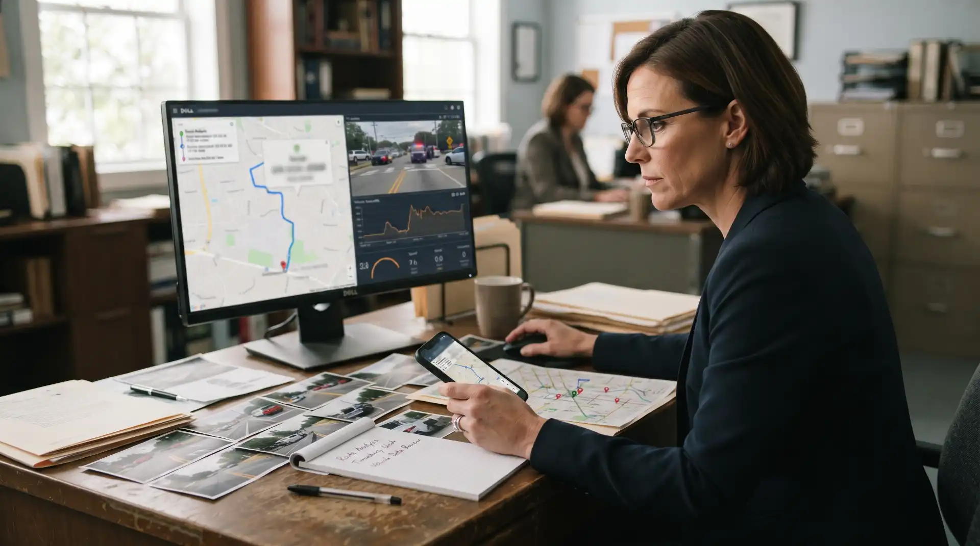
The driver’s phone can potentially contain information about which navigation application was active, the destination entered, the route selected, recent searches, location history, and timing information associated with the trip.
The availability of such records varies considerably.
A navigation provider may maintain certain account information, while other records may exist only temporarily or on a particular device. Privacy protections and legal procedures also affect whether information can be obtained during litigation.
Vehicle data can provide another layer of evidence. Depending on the vehicle and crash circumstances, investigators may examine speed, braking, steering inputs, event data, onboard camera footage, or infotainment activity.
Dashcam footage can be especially helpful because it may show whether the driver made a sudden lane change, encountered an unexpected closure, ignored traffic signs, or reacted abruptly immediately before impact.
Surveillance cameras from businesses, homes, parking garages, transportation facilities, or other vehicles may also document what happened.
Witnesses can provide context that digital records cannot. Someone traveling behind the vehicle might report that the driver suddenly slowed, crossed multiple lanes, or appeared to be looking downward before the collision.
No single piece of evidence automatically establishes fault. Investigators generally obtain the clearest picture by comparing digital evidence with physical evidence from the scene.
Navigation History May Help Reconstruct the Crash Timeline
GPS information can sometimes help establish where a vehicle traveled before an accident and how the route developed.
Suppose a driver claims another vehicle forced them to make a sudden maneuver. Navigation records may show that the driver’s route required an upcoming exit and that the vehicle had recently been rerouted.
That does not prove negligence by itself, but it can provide context.
Location information may also help establish whether a driver approached the collision from a particular street, whether the vehicle had taken an unexpected detour, or whether the driver was unfamiliar with the area.
Modern accident investigations increasingly combine traditional evidence with digital records.
Our existing article on Freeway Ramp Accidents in SoMa: Understanding Liability at San Francisco’s High-Risk Intersections explains why lane placement, traffic flow, roadway design, electronic evidence, and the precise location of a collision can become important when a crash occurs near complex freeway approaches.
What About Rideshare and Delivery Drivers?
Navigation apps are especially important to drivers working for rideshare, delivery, courier, and other app-based services.
These motorists may depend on navigation throughout much of their working day. They may also receive trip requests, customer information, pickup instructions, delivery messages, route changes, and other alerts through the same device.
That combination can increase the amount of information competing for a driver’s attention.
Suppose a rideshare driver looks down to confirm the next turn while approaching an intersection and rear-ends stopped traffic. The driver’s navigation use may become evidence of distraction.
If the motorist makes a sudden turn after receiving a route update, app records may help reconstruct when the instruction appeared and what the driver was doing at the time.
Commercial or app-based driving can also raise separate insurance and employment questions. The driver’s app status at the moment of the collision may affect which coverage applies.
GPS evidence can therefore have more than one purpose: it may help reconstruct the accident while also helping establish whether a driver was engaged in work-related activity.
Can Built-In Vehicle Navigation Cause the Same Problems?
Yes.
Distraction is not limited to smartphones.
Modern vehicles increasingly feature large touchscreens that control navigation, entertainment, climate settings, vehicle functions, messaging, and other features.
A driver who spends too much time navigating menus or entering an address can take attention away from surrounding traffic even though the system is built into the dashboard.
Federal safety guidance has long treated navigation and other visual-manual electronic tasks as potential sources of driver distraction. NHTSA’s driver-distraction guidance encourages vehicle systems to minimize tasks requiring excessive visual and manual attention while a vehicle is moving.
From an accident-liability perspective, the important question may therefore be what the driver was doing rather than whether the GPS system was located on a phone or installed by the vehicle manufacturer.
Can a Driver Blame the GPS for an Illegal Maneuver?
Generally, saying “the GPS told me to do it” does not automatically excuse a traffic violation.
Navigation applications do not supersede traffic signals, regulatory signs, lane markings, police instructions, construction controls, or the driver’s obligation to respond safely to visible conditions.
If a navigation system instructs a motorist to make a U-turn where U-turns are prohibited, the driver should follow the road rules rather than the application.
If the app says to continue straight while a police officer is directing traffic away from the roadway, the officer’s instruction controls.
If GPS tells a driver to take an exit after the vehicle has already passed the safe point to change lanes, the motorist can continue and allow the app to recalculate.
This distinction matters because negligence typically concerns whether the driver’s conduct was reasonable in the real circumstances—not whether the software’s route was perfect.
What If Road Design and GPS Confusion Both Contributed?
Not every navigation-related collision is solely a technology or driver issue.
Roadway conditions can sometimes add another layer.
Poorly visible lane markings, construction detours, missing signs, unusual intersections, sightline obstructions, or abrupt temporary traffic patterns may make navigation instructions harder to interpret.
For example, an app may direct a driver toward the correct street, but temporary construction changes where vehicles must merge. If lane markings are confusing and the driver makes an incorrect movement, investigators may examine both the motorist’s behavior and the roadway configuration.
Claims involving government-controlled roads are governed by specialized legal rules and should not be assumed simply because a roadway condition contributed to an accident.
The existence of confusing infrastructure does not automatically establish public-entity liability.
Image: GPS Route Change at a Complex Freeway Interchange
What Should Drivers Do When GPS Directions Seem Wrong?
Safety should take priority over completing the suggested maneuver.
A driver who misses an exit can continue until there is a safe opportunity to change direction. Modern navigation systems typically recalculate automatically.
If directions appear to conflict with a traffic sign, drivers should follow the lawful traffic control.
Destinations should ideally be entered before beginning the trip. Audible guidance can reduce the need to look repeatedly at the screen. Where state law permits mounted-phone interaction, motorists should still minimize visual and manual input.
If a route becomes confusing, pulling over legally in a safe location may be better than attempting to reprogram the navigation system while moving.
The most important principle is simple: navigation software should assist driving, not compete with it.
Steps to Take After a Crash Involving Navigation-App Use
After any collision, immediate safety and medical needs take priority.
When circumstances allow, evidence concerning navigation use should also be preserved.
A driver or passenger may want to avoid deleting the active route, recent destination, trip history, photographs, videos, or other digital records associated with the accident. Screenshots showing the route shortly after the collision may sometimes help document what the application displayed, although they should only be taken after the vehicle is safely stopped.
Photographs of the actual roadway can be equally important. Capture relevant traffic signs, lane markings, construction barriers, intersection geometry, obstructions, and the location where the GPS instructed the maneuver.
Witness contact information may help if another person observed a sudden lane change or unsafe turn.
Dashcam footage should be preserved before it is overwritten.
People involved in a crash can find a broader evidence-preservation checklist in our What to Do After a Car Accident in San Francisco: A Step-by-Step Guide.
Why Navigation-App Accident Claims Can Become Complicated
At first glance, a navigation-related crash might sound simple: the GPS gave the wrong instruction and an accident happened.
Legal causation is rarely that straightforward.
Investigators may need to determine whether the instruction was actually incorrect, whether the driver misunderstood it, whether a roadway change had recently occurred, whether traffic signs contradicted the app, whether another motorist contributed to the collision, and whether the driver was distracted while interacting with the device.
Digital records can be technical and time-sensitive.
Liability may also involve more than one legal theory. Driver negligence, comparative fault, employer responsibility, defective vehicle technology, roadway conditions, or potentially software-related issues could arise depending on the facts.
That is why conclusions should not be drawn solely from the statement that “the GPS caused the crash.”
The complete sequence of events matters.
Frequently Asked Questions About Navigation App Errors and Car Accidents
Can GPS directions legally excuse a driver who causes an accident?
Usually not by themselves. Drivers remain responsible for watching the road, obeying traffic laws, and making safe decisions. A GPS instruction may explain why a driver made a particular maneuver, but it does not automatically eliminate negligence.
Can looking at Google Maps or another navigation app count as distracted driving?
Yes. Navigation-system interaction can create visual, manual, or cognitive distraction. NHTSA specifically recognizes navigation systems as a potential source of distracted driving.
Is it legal to hold a phone to view GPS directions while driving in California?
California Vehicle Code Section 23123.5 generally restricts holding and operating a wireless phone while driving. In the 2025 People v. Porter decision, the California Court of Appeal held that viewing a mapping application on a phone while holding it constituted operation of the phone under the statute.
Can a navigation company be sued for providing inaccurate directions?
Potential claims depend heavily on the facts and applicable law. An inaccurate route does not automatically establish liability. Issues such as causation, warnings, the driver’s conduct, software design, available alternatives, and jurisdiction may all matter.
Can GPS history be used as evidence after a car accident?
Potentially. Location information, route history, timestamps, app records, vehicle data, dashcam footage, and other digital evidence may help reconstruct events. Availability and access depend on the device, application, privacy rules, retention practices, and applicable legal procedures.
What happens if GPS tells me to make an illegal turn?
Drivers should obey actual traffic laws and roadway controls. Navigation instructions generally do not override signs, signals, lane restrictions, police directions, or construction controls.
What if I miss a turn because following the GPS instruction would be dangerous?
Continue driving safely. Navigation systems can usually calculate another route. Missing an exit or turn is preferable to making an unsafe lane change or abrupt maneuver.
Can both drivers share fault in a GPS-related accident?
Yes. For example, one driver may make an unsafe lane change after a navigation instruction while another driver is speeding or following too closely. California’s comparative-fault rules allow responsibility to be divided when multiple parties contribute to an accident.
The Bottom Line on GPS Directions and Crash Liability
Navigation applications can contribute to the circumstances surrounding a car accident, but they do not normally take control of the basic decisions a driver makes behind the wheel.
A confusing instruction, outdated map, unexpected rerouting, or last-second turn alert may help explain why an accident occurred. At the same time, drivers remain responsible for monitoring the road, following traffic laws, maintaining control of their vehicles, and refusing to make a maneuver when it cannot be completed safely.
Navigation use may also become important evidence. Phone data, GPS history, dashcam video, vehicle information, witness accounts, roadway photographs, traffic controls, and surveillance footage can help investigators reconstruct what occurred.
In some cases, the driver may bear most or all of the responsibility. In others, several motorists, roadway conditions, employers, vehicle technology, or potentially a navigation-system issue may warrant closer examination.
The key is distinguishing between an application that was part of the circumstances and conduct that legally caused the collision.
As navigation technology becomes increasingly integrated into everyday driving, that distinction is likely to remain an important issue in car accident investigations throughout California and the rest of the United States.