
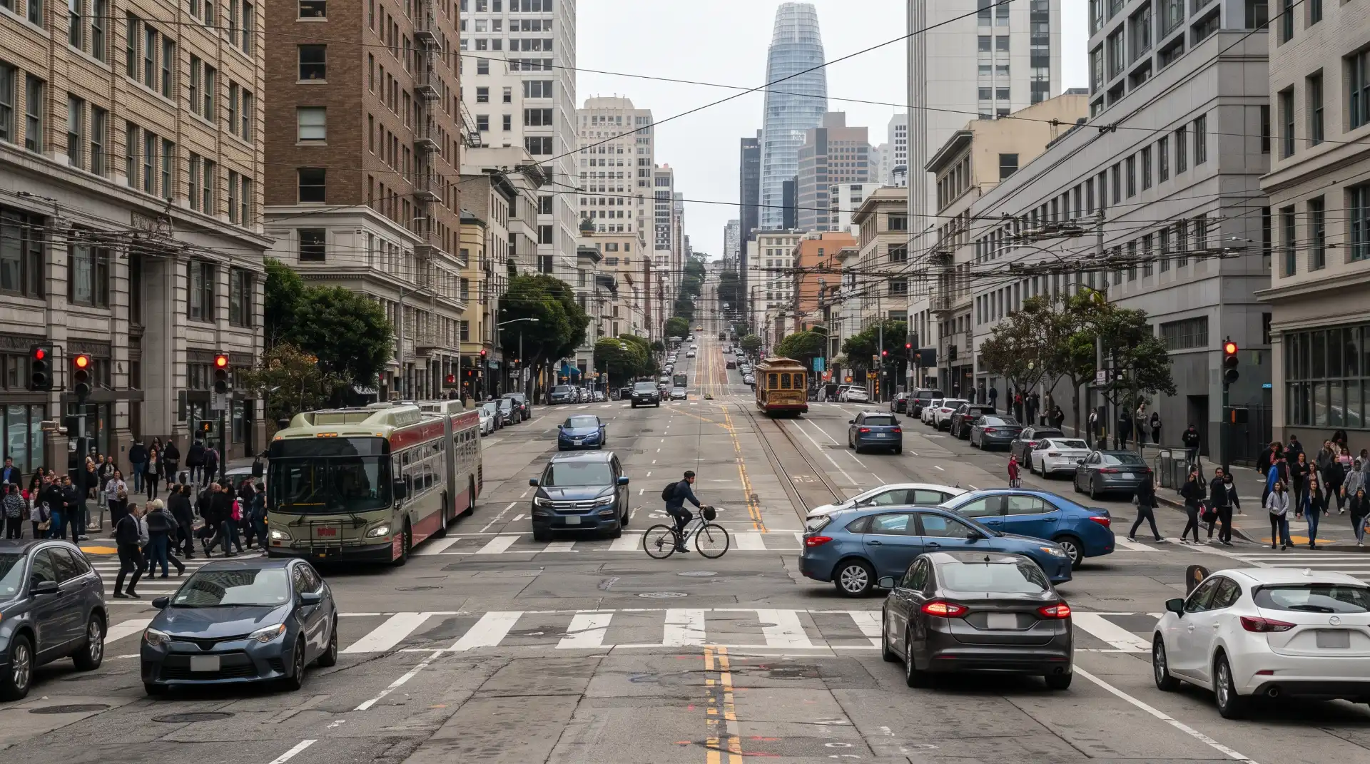
Driving in San Francisco requires more than simply following the speed limit and watching the vehicle immediately ahead. The city’s streets combine steep grades, dense development, narrow roadways, transit routes, bicycle infrastructure, pedestrian crossings, delivery activity, parking maneuvers, freeway connections, and frequent intersections. These conditions can create complicated traffic environments in which a relatively small mistake can develop into a serious collision.
Some streets have a particularly significant history of severe and fatal crashes. San Francisco identifies these areas through its High Injury Network, a data-driven system used to identify locations where serious traffic injuries and fatalities are concentrated. The network is intended to help the city determine where roadway safety improvements, enforcement, education, and engineering resources should be directed.
The existence of a high-injury corridor does not automatically mean that every crash occurring there was caused by a defective road or by the city. A collision still requires a fact-specific investigation. Driver behavior, traffic conditions, vehicle movement, visibility, roadway design, speed, weather, pedestrian activity, and other circumstances can all contribute to what happens.
Nevertheless, understanding high-injury corridors can help drivers recognize why certain parts of San Francisco require additional attention. It can also help explain why roadway conditions and crash history may become relevant when investigators examine a serious collision.
What Is a High-Injury Corridor?
A high-injury corridor is generally a roadway or connected group of street segments where severe and fatal traffic injuries occur at a disproportionately high rate. San Francisco’s current terminology is the High Injury Network, which encompasses street segments identified through analysis of severe and fatal injury data.
The city’s 2024 High Injury Network uses crash and injury information from 2020 through 2024. According to SFMTA, streets were included when at least 10 people suffered fatal or severe injuries during that period. The 2024 network identifies approximately 13 percent of San Francisco’s streets where 74 percent of serious traffic injuries or fatalities occurred.
The underlying data is broader than a simple collection of police accident reports. San Francisco’s 2024 dataset incorporates information from the San Francisco Police Department, Zuckerberg San Francisco General Hospital, and ambulance and emergency medical services data. The information is linked to identify street segments where serious and fatal injuries are concentrated.
This approach matters because not every serious injury is fully represented by a traditional police crash report. Medical and emergency-response information can provide additional insight into the severity and location of traffic injuries.
The result is a network designed to show patterns rather than isolated incidents.
A single intersection may experience a serious crash because of an unusual combination of circumstances. A corridor that repeatedly experiences severe crashes over several years may reveal a broader pattern involving speed, traffic volume, intersection design, pedestrian activity, roadway geometry, or other environmental factors.
Why San Francisco Uses a High Injury Network
San Francisco adopted its Vision Zero policy in 2014 with the goal of eliminating traffic deaths. The city’s approach emphasizes roadway design, education, enforcement, and policy changes intended to reduce the likelihood and severity of traffic crashes.
The High Injury Network gives city agencies a way to concentrate resources on locations where the data indicates the greatest concentration of severe and fatal injuries. Rather than treating every street as presenting the same level of risk, transportation officials can use historical crash information to determine where safety interventions may have the greatest potential impact.
The network has also changed over time. San Francisco’s 2024 map is different from earlier versions because crash patterns and roadway conditions change. Some streets that previously appeared on the network may no longer meet the criteria, while other streets may become part of the network after additional serious crashes are documented.
That distinction is important when discussing a particular accident. A street’s current status should not automatically be assumed based on an older map.
For drivers, the broader lesson is that a street can have a history of serious crashes even when an individual collision appears relatively ordinary. For investigators, the history can provide context while still leaving the specific question of fault to the facts of the individual crash.
How Roadway Design Can Contribute to Car Accidents
Roadway design does not cause every accident, but the physical characteristics of a street can influence how drivers perceive hazards and how much time they have to respond.
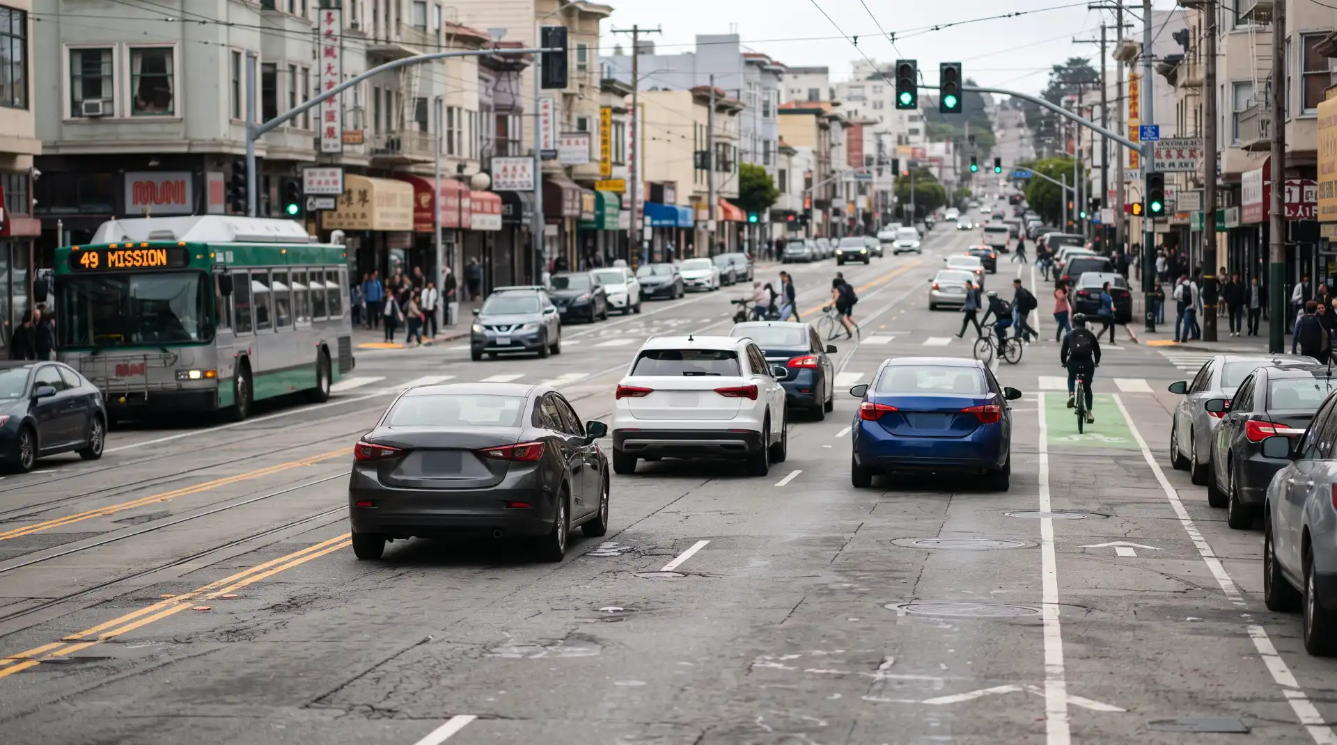
San Francisco presents several examples. Some streets have steep grades that can affect vehicle speed and stopping distance. Others have closely spaced intersections where drivers encounter signals, turning vehicles, pedestrians, bicycles, and parked cars within a short distance.
A roadway may also include multiple travel modes operating alongside one another. A driver might need to watch for a bus pulling away from a stop, a cyclist entering an intersection, a pedestrian crossing the street, and a vehicle changing lanes at approximately the same time.
The more traffic movements that occur within a confined space, the more opportunities there may be for conflicting movements.
Lane configuration can also matter. A lane that narrows unexpectedly, a turn lane that begins near an intersection, or a roadway that transitions between different traffic patterns can require drivers to make decisions quickly.
None of these conditions automatically makes a roadway legally defective. However, they can become important evidence when reconstructing how a collision occurred.
Intersections Are Particularly Important
Intersections are among the most complicated areas of San Francisco’s street network because several directions of travel converge in a limited area.
According to SFMTA’s 2023–2024 traffic crash report, more than 70 percent of injury collisions in San Francisco occur at intersections. The report identified several intersections with substantial numbers of injury collisions during the 2020–2024 period, including Gough Street and Market Street, Market Street and Octavia Street, the Fell Street/Oak Street/JFK Drive/Stanyan Street area, Divisadero Street and Geary Boulevard, and Eddy Street and Larkin Street.
These statistics do not mean that every driver entering one of these intersections is likely to crash. They show that intersections can be important locations for analyzing citywide injury patterns.
At an intersection, a collision can result from a driver running a red light, failing to yield, turning across another vehicle’s path, changing lanes improperly, following too closely, traveling too fast for conditions, or failing to recognize a pedestrian or cyclist.
In other situations, the physical intersection itself may become part of the investigation. Signal timing, sight distance, lane configuration, markings, signs, lighting, and obstructions may all be relevant depending on the collision.
Speed Can Increase the Severity of a Crash
Speed is one of the factors transportation officials examine when addressing serious traffic injuries.
A driver traveling faster has less time to recognize a developing hazard and generally requires more distance to stop. When a collision occurs, higher impact speeds can also increase the forces involved.
This does not mean that speeding must be present for a serious crash to happen. A collision at a lower speed can still cause significant injuries, particularly when there is a side impact, multiple impacts, a vulnerable road user, or another unusual circumstance.
San Francisco’s traffic-safety programs have therefore included measures intended to reduce vehicle speeds and manage conflicts at intersections and along corridors. The city has used tools such as speed management, lane reconfiguration, signal changes, traffic calming, crosswalk improvements, and other street treatments.
Drivers should not assume that a familiar street is safe to navigate at the maximum posted speed under every circumstance. Traffic density, pedestrians, weather, visibility, road geometry, and congestion may require a lower speed.
Visibility Problems Can Increase Collision Risk
Visibility is another important factor on dense urban streets.
A driver approaching an intersection needs enough time to see vehicles, pedestrians, cyclists, signs, traffic signals, and other hazards. Parked vehicles, large trucks, delivery vans, vegetation, construction equipment, or other obstructions can reduce the driver’s available sightline.
San Francisco has responded to some visibility concerns through daylighting and safety-zone programs designed to keep areas near crosswalks more visible.
For example, California’s daylighting law generally restricts parking or standing within specified distances of crosswalks. San Francisco has implemented additional treatments intended to improve visibility and reduce conflicts at intersections.
The issue can become especially important after a collision involving a pedestrian, cyclist, or turning vehicle.
For more information about how blocked sightlines can affect collision investigations, readers can review the site’s article on Daylighting and Safety Zones: How Blocked Sightlines Affect Crash Fault.
A blocked sightline does not automatically establish liability. Investigators still need to determine who could see what, when the hazard became visible, how quickly each person was traveling, and whether a reasonable response could have prevented the collision.
Heavy Traffic Can Create Additional Risks
Traffic congestion is a normal part of driving in San Francisco, particularly around major downtown corridors, freeway approaches, commercial districts, and busy intersections.
Congestion can create a different set of risks from high-speed freeway driving. Vehicles may repeatedly stop and accelerate. Drivers may change lanes to avoid queues. Vehicles may enter intersections while traffic ahead is already slowing. Delivery vehicles and rideshare cars may temporarily stop near travel lanes.
These conditions can produce rear-end collisions, sideswipes, lane-change crashes, and multi-vehicle accidents.
A driver who becomes impatient may attempt an abrupt lane change or accelerate into a narrowing gap. Another driver may respond by braking suddenly. The resulting collision can involve multiple vehicles even when the initial mistake lasted only a few seconds.
The surrounding traffic environment may therefore be important evidence after a crash.
A recent San Francisco-focused discussion of congestion explains how stop-and-go traffic, sudden braking, lane changes, blocked intersections, and limited following distances can complicate both the mechanics of a collision and the question of fault. Traffic Congestion and Car Accidents in San Francisco: Can Heavy Traffic Affect Fault? provides additional information on that issue.
Freeway Connections Can Add Another Layer of Risk
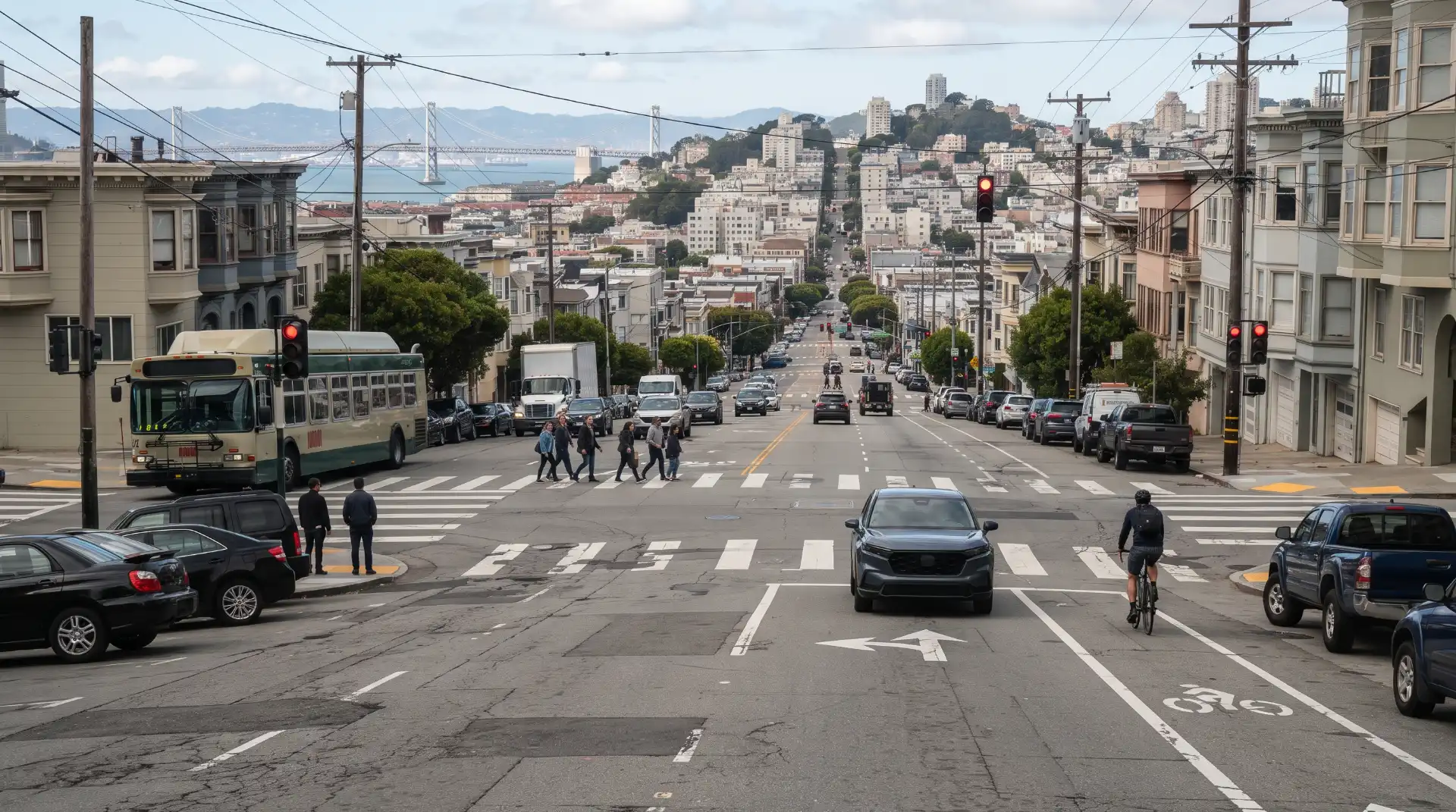
Some San Francisco corridors connect directly to major freeways. Drivers can move from high-speed freeway conditions to dense city streets within a short distance.
The transition requires drivers to adjust quickly.
A vehicle exiting Interstate 80 or U.S. 101 may suddenly encounter pedestrians, traffic signals, buses, cyclists, delivery vehicles, and closely spaced intersections. Drivers unfamiliar with San Francisco may also be trying to follow navigation instructions while simultaneously identifying lanes and traffic controls.
The reverse situation can create problems as well. A driver preparing to enter a freeway may focus heavily on finding an entrance lane and overlook vehicles, cyclists, or pedestrians on the surrounding street.
SoMa provides a particularly useful example because of its combination of major surface streets, freeway ramps, downtown traffic, transit, commercial activity, and pedestrian movement.
The site’s existing guide, Freeway Ramp Accidents in SoMa: Understanding Liability at San Francisco’s High-Risk Intersections, provides additional information about the roadway and liability issues that can arise around freeway connections.
Can a Dangerous Road Make the City Liable?
This is an important distinction.
The fact that a street has a history of serious crashes does not automatically establish legal liability against San Francisco or another public agency.
California law has specific requirements for claims involving allegedly dangerous conditions of public property. An injured person generally needs to establish more than the fact that a collision happened on a road with a poor safety history.
Depending on the circumstances, the investigation may consider whether a dangerous physical condition existed, whether the condition created a reasonably foreseeable risk of the type of injury that occurred, whether the public entity had actual or constructive notice, and whether the condition was a substantial factor in causing the injury.
Other legal issues can also arise, including statutory defenses and questions concerning roadway design.
This is why a high-injury designation should be viewed as evidence of a crash pattern rather than automatic proof of government liability.
A corridor’s inclusion on the High Injury Network can demonstrate that serious injuries have been concentrated there. It does not, by itself, answer why a particular collision happened.
How High-Injury Data Can Help Investigate an Accident
High-injury data may be useful as part of a broader investigation.
Suppose a driver is injured at an intersection that has experienced repeated serious collisions. The accident investigation might examine the intersection’s crash history, traffic-control configuration, lane markings, signal timing, visibility, roadway geometry, and prior safety projects.
Historical information may help investigators understand whether the collision occurred in a location with an established pattern.
However, historical crash data cannot replace evidence from the individual accident.
A police report, photographs, video footage, witness testimony, vehicle damage, electronic vehicle data, medical records, traffic signal information, and roadway measurements may be more directly relevant to determining what happened during the particular crash.
The best analysis usually combines both types of evidence: information about the specific collision and information about the broader roadway environment.
What Evidence Can Matter After a Crash?
Evidence should be preserved as soon as reasonably possible because urban environments change quickly.
Photographs of the collision scene can document vehicle positions, lane markings, traffic signals, road signs, crosswalks, pavement conditions, visibility, parked vehicles, construction activity, and nearby obstructions.
Video can be especially valuable. Security cameras, traffic cameras, dash cameras, transit vehicles, businesses, residential buildings, and nearby parking facilities may capture portions of the incident.
Not every camera recording will be available indefinitely, and not every camera captures the relevant angle. For that reason, identifying potential sources of footage quickly can be important.
Witnesses may also provide information that cannot be obtained from photographs. A witness may have seen which vehicle entered the intersection first, whether a signal was red or green, whether a driver was changing lanes, or whether another vehicle suddenly entered the roadway.
Vehicle damage can also help investigators understand the direction and severity of impact.
How Fault Is Determined in a San Francisco Car Accident
Fault is generally determined by examining the conduct of the people and entities involved and determining whether their actions or omissions contributed to the collision.
A driver may be negligent for speeding, distracted driving, following too closely, failing to yield, running a traffic signal, making an unsafe turn, or changing lanes without sufficient clearance.
In other cases, several people may contribute to a crash.
For example, one driver may make an unsafe lane change while another driver is traveling too quickly to stop. The first driver and second driver could potentially have different degrees of responsibility depending on the evidence.
California’s comparative-fault rules can allow responsibility to be divided rather than treating every collision as an all-or-nothing question.
For a more detailed discussion of evidence and comparative fault, readers can visit How to Prove Fault in a San Francisco Car Accident.
The same principle applies when roadway conditions are part of the investigation. The presence of a roadway hazard does not necessarily eliminate driver responsibility.
What Drivers Can Do to Reduce Risk on High-Injury Corridors
Drivers cannot control every aspect of the roadway, but they can adjust their behavior to the conditions around them.
Reducing speed when approaching busy intersections can give drivers more time to recognize changing traffic signals, pedestrians, cyclists, and turning vehicles. Maintaining additional following distance can also provide more time to react when traffic suddenly stops.
Drivers should be especially cautious when visibility is restricted. If parked vehicles or other objects limit the view around an intersection, slowing down can provide additional time to identify hazards.
Lane changes should be made gradually and only when there is enough space to complete the maneuver safely. A driver should avoid making last-second movements simply because a navigation application indicates an upcoming turn.
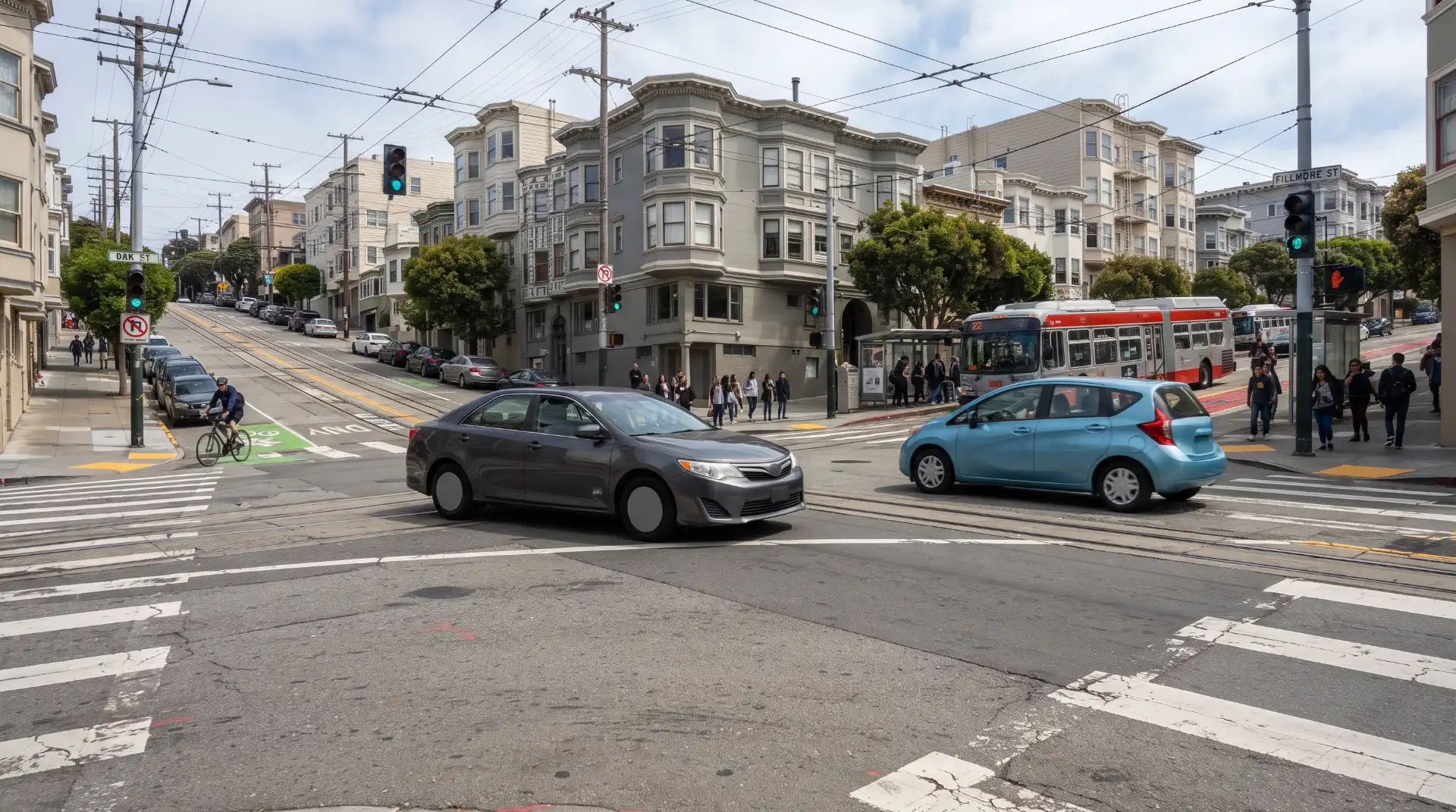
San Francisco’s dense streets also require drivers to pay attention to transit vehicles and bicycle infrastructure. A vehicle that appears to be moving slowly may be preparing to stop for passengers, while a cyclist may be traveling in a designated lane alongside moving traffic.
Safe driving in a high-injury corridor is therefore largely about anticipation. Drivers should expect that another road user may make a movement they did not anticipate and leave enough time and space to respond.
What to Do After a Crash on a High-Injury Corridor
The first priority after any collision is safety.
If someone is seriously injured, emergency medical assistance should be requested immediately. Drivers should avoid putting themselves or others in additional danger from moving traffic.
When it is safe to do so, photographs can be taken of the vehicles and surrounding roadway. Important details may include the intersection, traffic signals, lane markings, crosswalks, signs, road surface, nearby vehicles, and anything that may have affected visibility.
Drivers should exchange appropriate contact and insurance information and identify witnesses when possible.
Medical evaluation can also be important, even when injuries initially appear minor. Some collision-related symptoms may become more noticeable later.
After the immediate emergency has passed, keeping records of medical care, vehicle repairs, lost work, photographs, communications with insurers, and other accident-related information can help preserve evidence.
For a broader post-crash checklist, readers can review What to Do After a Car Accident in San Francisco: A Step-by-Step Guide.
Why the Exact Location of a Crash Matters
Two collisions occurring only a few blocks apart can involve very different circumstances.
The exact location can determine the applicable traffic controls, lane configuration, roadway owner, nearby cameras, intersection geometry, and available witnesses.
It can also determine whether the location falls within the current High Injury Network or another city safety program.
For that reason, saying that an accident occurred “on Market Street” may not be enough. Investigators may need to identify the exact intersection, direction of travel, lane, nearby cross street, and location of impact.
Photographs, police reports, GPS information, vehicle data, witness statements, and other records can help establish this information.
Precise location information can become especially important when a claim involves a roadway condition or public entity because responsibility for streets, signals, ramps, sidewalks, and other infrastructure can vary.
San Francisco’s Approach to Improving High-Injury Corridors
The High Injury Network is not simply a map for identifying dangerous locations. It is part of a broader effort to determine where safety improvements should be made.
San Francisco has used several types of interventions, including speed-management measures, signal improvements, lane changes, traffic calming, crosswalk treatments, and other engineering projects.
The city’s 2024 High Injury Network is intended to guide these investments by identifying where severe and fatal injuries have been concentrated. SFMTA reported in 2026 that the 2024 network represents approximately 13 percent of city streets while accounting for 74 percent of serious traffic injuries or fatalities during the underlying 2020–2024 period.
For readers who want to examine the city’s current maps and crash information, SFMTA maintains a public Vision Zero SF Maps and Data resource containing the High Injury Network map, traffic crash information, fatality information, and other safety resources.
High-Injury Network Status Does Not Prove a Particular Claim
It is important not to overstate what high-injury data means.
A street’s inclusion on the High Injury Network indicates that serious and fatal injuries have been concentrated there according to the city’s methodology and the relevant historical data.
It does not prove that every crash on that street resulted from roadway design.
It also does not establish that a driver was negligent simply because the collision occurred on a high-injury corridor.
Likewise, a street’s absence from the current network does not mean that the roadway is risk-free. The 2024 map is based on a defined historical period, and crash patterns can change over time. SFMTA has specifically described the network as a snapshot in time.
This distinction is especially important when discussing legal claims. Evidence from the roadway must be connected to the actual accident.
When Road Conditions Become Relevant to a Legal Claim
Road conditions can become particularly important when there is evidence that a physical condition contributed to a collision.
Examples might include a malfunctioning traffic signal, unusual roadway geometry, inadequate visibility, an improperly maintained surface, missing or confusing markings, or another physical condition.
But each situation requires separate analysis.
A driver cannot generally avoid responsibility simply by pointing to a dangerous-looking road. Conversely, a roadway condition should not automatically be ignored simply because a driver also made a mistake.
A collision may have multiple contributing factors.
For that reason, an investigation may need to determine how the driver behaved, what the roadway looked like, whether the condition existed before the accident, whether anyone had reported it, whether the responsible entity knew or should have known about it, and whether the condition actually contributed to the collision.
Why High-Injury Corridors Matter to San Francisco Drivers
High-injury corridors provide an important reminder that traffic safety is influenced by more than individual driver decisions.
Roadway design, traffic volume, speed, visibility, intersections, transit activity, pedestrian movement, bicycle infrastructure, and surrounding development can all influence the environment in which drivers operate.
San Francisco’s High Injury Network uses historical injury information to identify places where these environments have been associated with concentrations of serious and fatal crashes.
For drivers, that information can reinforce the importance of slowing down, maintaining space, watching intersections carefully, and anticipating unexpected movements.
For accident investigations, the same information can provide useful context about the roadway where a collision occurred.
The key is to distinguish between crash history and proof of causation. A history of serious crashes can identify a location that deserves attention, but determining responsibility for an individual collision requires evidence connecting specific conduct or roadway conditions to the accident.
Final Thoughts
High-Injury Corridors in San Francisco are an important part of the city’s approach to understanding and reducing serious traffic injuries.
The current High Injury Network is based on several years of data and identifies a relatively small portion of the city’s streets where a large share of serious and fatal traffic injuries have occurred. The network helps transportation officials prioritize engineering, education, enforcement, and other safety efforts.
For drivers, these corridors deserve particular attention because they often combine the types of conditions that make urban driving complicated: busy intersections, high traffic volumes, turning movements, transit activity, pedestrians, cyclists, lane changes, and limited visibility.
For people involved in a collision, the roadway’s history may also become relevant evidence. However, being involved in an accident on a high-injury street does not automatically establish who was responsible. The individual circumstances of the crash still matter.
Photographs, video, witness statements, vehicle information, police reports, medical records, traffic-control information, and roadway evidence can all help reconstruct what happened.
Ultimately, the most useful way to understand San Francisco’s high-injury corridors is to view them as indicators of traffic-safety patterns rather than automatic proof of fault. They show where serious injuries have historically concentrated and help explain why particular streets receive additional safety attention. When combined with evidence from an individual collision, that information can provide a clearer picture of the roadway environment and the circumstances surrounding a crash.